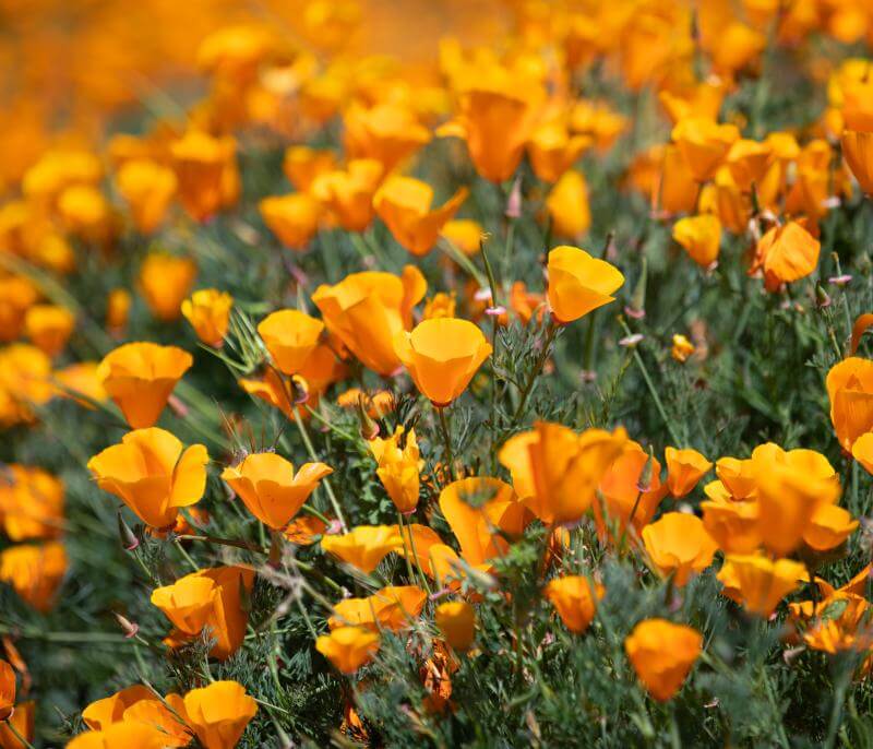
Roddy Ranch Golf Course was a 230-acre, 18-hole course located off Deer Valley Road at the south end of Antioch, CA. The East Bay Regional Park District is developing a Habitat Restoration and Public Access Plan to restore native grassland habitat and include paths and facilities for passive public recreation, such as walking, jogging, and picnicking. The former golf course property will be a part of the larger 3,500-acre future Deer Valley Regional Park. The planning process to open the former golf course as a park is expected to take 18 months.
To address increased popularity of mountain biking, the Park District is exploring additional bike access in Wildcat Canyon Regional Park.
The 2022 LHMP Update was finalized in late 2022 with input from the Hazard Mitigation Planning Committee, agency stakeholders, and the public. The California Office of Emergency Services (Cal OES) and FEMA reviewed and approved the LHMP Update in early 2023.
Judge John Sutter Regional Shoreline
Keller Beach Park is an approximately 1.5-acre park that is located within the Miller / Knox Regional Shoreline in Richmond, California. The Keller Beach Improvement project seeks to address issues identified in the 2019 Miller / Knox Land Use Plan Amendment.
The Park District acquired the 1,476-acre Tyler Ranch property in 2009. In 2012, the Park District Board of Directors adopted the Pleasanton Ridge Land Use Plan, which identified Tyler Ranch as the site of a new staging area to provide pedestrian, equestrian, and bicycle access into the southern end of Pleasanton Ridge Regional Park.
The existing pool facility at Roberts Regional Recreation Area was built in the 1950s and the infrastructure is beginning to fail. In addition, the Park District would like to expand the capacity of the pool to allow for increased use of the facility by the public.
The Albany Beach Restoration and Public Access Project is located in McLaughlin Eastshore State Park between Buchanan Street and Gilman Street.
The project is part of the Park District’s ongoing efforts to build up the topography of the park to meet the standards of the District’s Oyster Bay Land Use Plan Amendment adopted in 2013.
The Park District proposes to fill a gap in the San Francisco Bay Trail (Bay Trail) and make improvements within the existing Martin Luther King Jr. (MLK) Regional Shoreline.