Overview
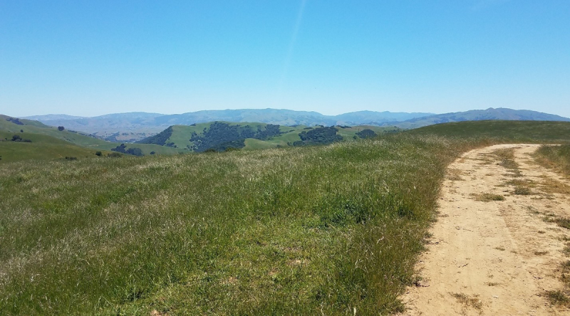
The Bay Area Ridge Trail (Ridge Trail) is a planned 550-mile loop along the ridges that encircle the bay. Four hundred miles are currently complete and open to the public. The completion of this project will open five more miles and increase connectivity of the trail in the East Bay by creating a contiguous stretch of Ridge Trail over fifty miles long, from Niles Canyon in Fremont to Kennedy Grove Regional Park in El Sobrante. This project is also a part of the Juan Bautista de Anza National Historic Trail. Construction of this segment will connect the Ridge Trail to the Alameda Creek Trail, which travels west to the San Francisco Bay Trail and will connect to the future Niles Canyon Trail proposed from the historic town of Niles to Sunol.
Site Description
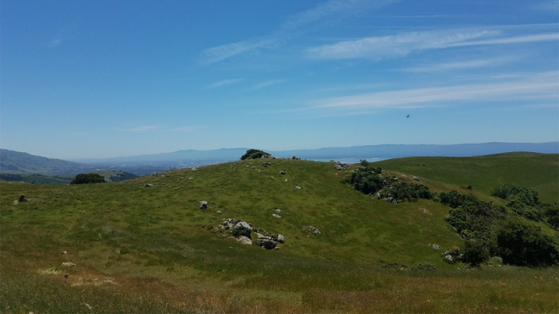
The project will construct approximately five miles of multiuse trail from Garin Regional Park to Vallejo Mill Historical Park in Fremont through grasslands and oak-bay woodlands. Trail users will benefit from the expansive views of the bay and surrounding ridges.
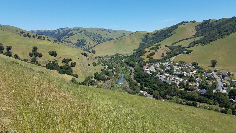
Construction includes a mix of new trail construction using smaller mechanized equipment – such as mini excavators, and a SWECO trail dozer – and regrading of existing roads. One trail bridge will be built, and five drainage crossings will be improved by removing undersized culverts and installing armored swales or upgrading the culverts to accommodate seasonal flow.
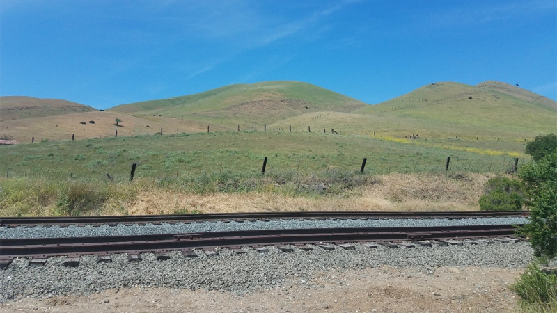
The project also includes an at-grade crossing of the Niles Canyon Railway (NCR) that is instrumental in making the connection to Niles Canyon. The NCR is owned by Alameda County and operated by the Pacific Locomotive Association (PLA) as a rolling museum showcasing steam and diesel locomotives from the 1910s to the 1960s. The trains operate at slow speeds, usually between 10 and 20 miles per hour. An at-grade crossing will be installed including concrete crossing panels, a flashing warning device, manual swing gates, and signage. The Park District has worked closely with the County and the PLA on the design.

Timeline
The Park District’s Board of Directors adopted a Mitigated Negative Declaration in November 2018. The California Public Utilities Commission (CPUC) approved the construction of the at-grade crossing of the NCR in June 2023. The Park District is awaiting permits from the environmental regulatory agencies. It is anticipated that the construction will begin in late 2025 or early 2026. The trail will be open to the public upon the completion of the construction of the railroad crossing.
Project Resources
Download: Notice of Intent
Download: Ridge Trail Initial Study-Mitigated Negative Declaration
Download: Biological Resources Assessment
Download: Jurisdictional Wetlands Delineation
Download: Geologic Constraints
