Overview
Open between 5 a.m. and 10 p.m. unless otherwise posted or permitted
Gate Hours: Open between 8 a.m. and 4 p.m. unless otherwise posted or permitted
None
Located at the end of McAvoy Road in Bay Point, CA
Toll Free: 888-EBPARKS (888-327-2757), option 3, extension 4596
Internet & Cellular Access

Check AT&T, T-Mobile & Verizon Coverage.
Select 'Map Layers' and switch on 'No Data Coverage Areas'
Park Activities
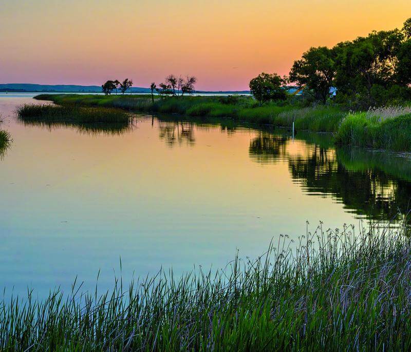
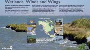
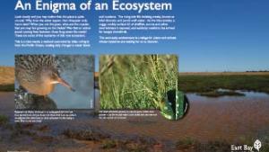
Bay Point Regional Shoreline provides access to undeveloped open space and marsh habitat in an area surrounded by residential, military, and industrial development. The public can enjoy views of Suisun Bay and opportunities for hiking, bird-watching, shoreline fishing, nature study, and other recreational pastimes. The nearly 150-acre parkland is at the approximate midpoint of the San Francisco Bay Estuary and the Sacramento/San Joaquin River Delta. These saltwater and freshwater systems converge at Suisun Bay and have historically been a major influence on the lives and natural surroundings of the Bay Point community.
Bay Point Restoration and Public Access Project
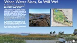
The Bay Point Restoration and Public Access Project was completed in December 2020. Park improvements included habitat restoration, addition of potable water, restroom upgrades, benches, trail and accessibility upgrades, and interpretive panels & overlooks.
To Reach The Park
Maps
Attractions
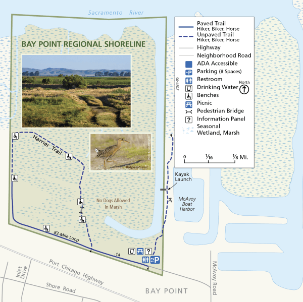
Parking, restrooms, picnic tables, benches, and the trailhead to a 1.1-mile loop trail are located at the park entrance at the end of McAvoy Road in Bay Point. Shoreline access provides opportunities for fishing. Bay Point Regional Shoreline lies within a region designated by the U.S. Fish and Wildlife Service as critical habitat for delta smelt, winter-run chinook salmon, and steelhead, and for general fisheries improvement.
This shoreline park is noted for its quiet ambiance and cool weather relative to surrounding inland areas. The marshlands provide good shorebird viewing and nature study, and the shoreline provides one of the relatively few fishing access points in the area. The public shoreline access at McAvoy Harbor leads to a point at the mouth of the J-shaped channel, which is a favorite local fishing spot.
Upcoming Events
History
Prior to the early 1800s, the lands along the Suisun Bay shoreline were occupied by Native American tribes. The last tribe living near the Bay Point area was the Chupcan tribe, which occupied the southern shore of Suisun Bay between Port Chicago and the mouth of Marsh Creek in the Oakley area. From the 1850s on, the site of Bay Point Regional Shoreline was located between two Mexican land grants--the Los Medanos grant to the east and the Monte del Diablo grant to the south and west. The area remained largely untouched by history until the 1950s through the 1980s, when the then-owners diked the southern section for settling ponds and a sand-dredging operation. In 1978, a California District Court decree required that the J-shaped channel now present along the park's eastern edge be dug to open the area to tidal action as mitigation for the sand-dredging operation. The East Bay Regional Park District acquired this property in 1996 to preserve and restore the marshland and to provide public access to the bay shoreline. A portion of the purchase price came from the Shell Oil Spill Litigation Settlement Trustee Committee and will be used for wetland restoration.
